
CN10 - Castro Urdiales - Laredo - 36 Km
Distance36 Km.Related packages
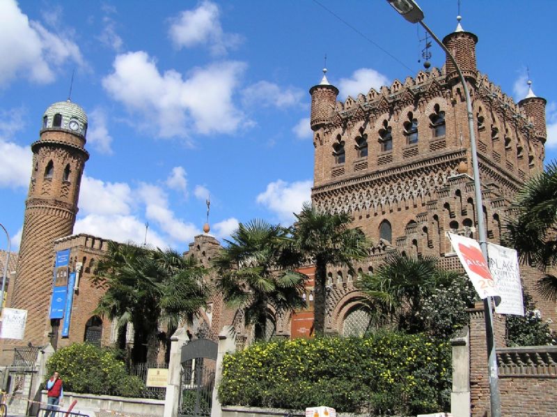
Castro Urdiales: Start of the Camino
Upon leaving the albergue in Castro Urdiales, we head to the right, ascending the path to Campijo. We continue straight until we pass beneath the highway, following the camping signs as we approach its vicinity.
Campijo: Path towards Allendelagua
At the fork near the camping, we take the right branch. Upon reaching another fork, we turn right again, heading towards Allendelagua. We continue on a dirt path until we reach the neighborhood and the Church of San Marcos.
Allendelagua: Path to the Church
From Allendelagua, we head right towards the highway. Just before passing underneath it, we take the left path, which runs parallel to the highway. Further along, at another fork, we turn right, passing through a tunnel beneath the highway that leads us to the Church of San Juan Evangelista.
Cérdigo: Nature of the Camino
We leave the Church of Cérdigo and head west, crossing the N-634 road. The Alto de Cerredo lies to the south, offering a view of the Cantabrian oak forest. After crossing the road, we descend a path between fruit trees and orchards, reaching a trail surrounded by vegetation that leads us to Islares.
Attention: It is essential to close each gate securely to prevent livestock from escaping and causing accidents on the road.
Islares: Between Orchards and Heritage
From the Church of San Martín in Islares, we follow a path that passes through citrus orchards, a tradition dating back to the medieval period, when these trees were planted to prevent scurvy among sailors. After passing the pilgrims' hospital of Vera Cruz and the Hermitage of San Roque, we continue to the N-634 and skirt along the Agüera River.
Safety note: The section along the N-634 requires caution due to the lack of a shoulder and its high danger.
El Pontarrón: Descent towards Rioseco
From the N-634 at kilometer point 158, we take a local path that ascends slightly, passing a eucalyptus plantation. At a fork, we turn right and descend towards Rioseco, where we find the Church of San Vicente and the Hermitage of San Antonio and San Lorenzo.
Rioseco: Path of Revilla
From Rioseco, we continue until we reach a fork where we take the right branch, passing through the neighborhood of Revilla, reaching the roundabout of the CA-151. We follow the road towards Ampuero and reach the Church of La Magdalena, where we begin a new stage of the Camino towards La Magdalena.
La Magdalena: Ascent to San Mamés
From the junction near the Church of La Magdalena, we take the local path towards the neighborhood of Pavián. As we ascend, the landscape becomes richer with oak groves and meadows until we reach the Hermitage of San Mamés, a landmark on the route. From here, we continue towards Manás and descend towards the beautiful Liendo Valley.
Manás: Path towards Hazas
In Manás, we continue descending towards the Liendo Valley, an area surrounded by oak groves, meadows, and cottages. As we descend, the views expand, allowing us to enjoy the beauty of the landscape.
Hazas: Path towards Laredo
In Hazas, we continue along the path towards the Church of Nuestra Señora de Liendo, passing through various villages and local roads. After crossing the CA-501, we reach the Church of Santa Cecilia in Tarrueza before taking the path towards Laredo.
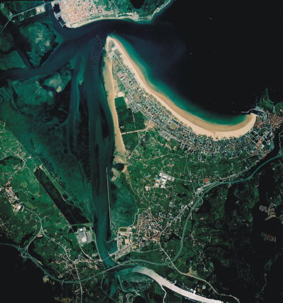
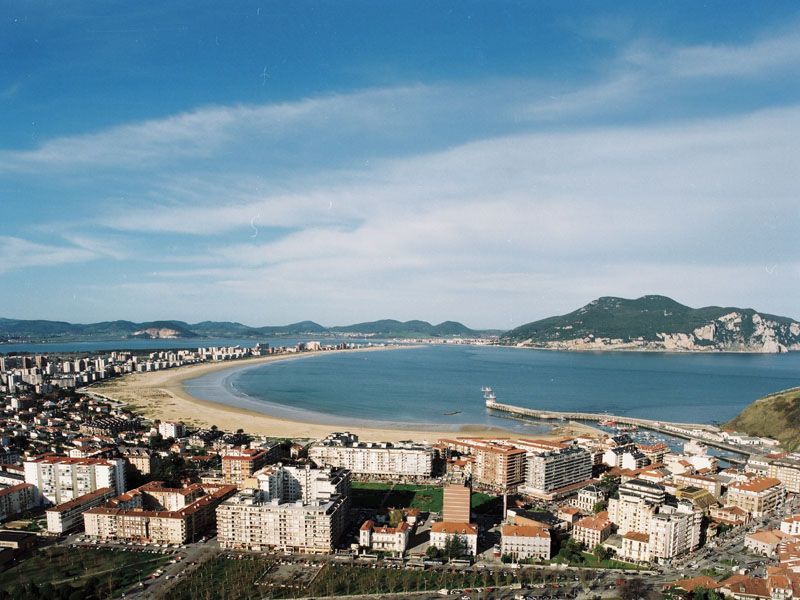
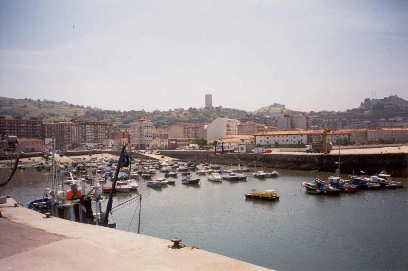
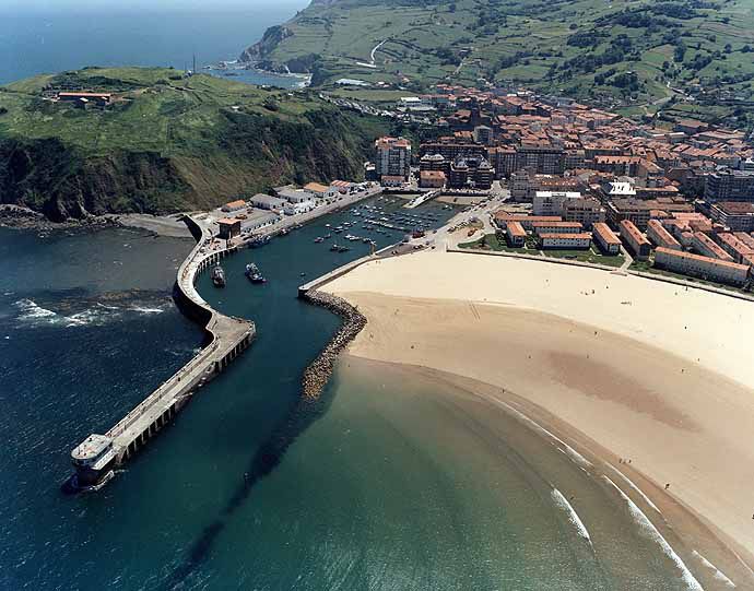
Laredo: End of the Stage
In Laredo, the Camino leads us to the Church of Santa María, while we explore the town's historic center with its rich medieval history. Pilgrims can choose from several albergues in Laredo, Colindres, or even Santoña, depending on the distance they wish to cover by the end of the day.
Note: The starting point to continue the Camino is Colindres, an ideal place to choose between taking the boat to Santoña or continuing on foot.
Tips for Pilgrims
- The Camino de Santiago on this stage combines natural beauty with medieval history.
- Don't forget to consult the Camino de Santiago map to plan your stages and routes.
- Remember that safety is crucial in dangerous sections, especially along the N-634.
Stages
- CN01 - Hondarribia - San Sebastián-Donostia - 23,8 Km
- CN02 - San Sebastián-Donostia - Zarautz - 22 Km
- CN03 - Zarautz - Deba - 25,2 Km
- CN04 - Deba - Markina-Xemein - 21,8 Km
- CN05 - Markina-Xemein - Gernika - 24,8 Km
- CN06 - Gernika - Bilbao - 29,7 Km
- CN07- Bilbao - Portugalete - 19,7 Km
- CN08 - Portugalete - Pobeña - 13,2 Km
- CN09 - Pobeña - Castro Urdiales - 25 Km
- CN10 - Castro Urdiales - Laredo - 36 Km
- CN11 - Laredo - Güemes - 21,8 Km
- CN12 - Güemes - Santander - 14 Km
- CN13 - Santander - Santillana del Mar - 37 Km
- CN14 - Santillana del Mar - Comillas - 21 Km
- CN15 - Comillas - Unquera - 26,6 Km
- CN16 - Unquera - Llanes - 25,1 Km
- CN17 - Llanes - San Esteban de Leces - 33,9 Km
- CN18 - San Esteban de Leces - Sebrayo - 27,8 Km
- CN19 - Sebrayo - Gijón - 30,6 Km
- CN20 - Gijón - Avilés - 22,7 Km
- CN21 - Avilés - Soto de Luiña - 38 Km
- CN22 - Soto de Luiña - Cadavedo - 19,70 Km
- CN23 - Cadavedo - Luarca - 16,3 Km
- CN24 - Luarca - La Caridad - 29,3 Km
- CN25 - La Caridad - Ribadeo - 22,3 Km
- CN26 - Ribadeo - Lourenzá - 29,5 Km
- CN27 - Lourenzá - Abadín - 24,8 Km
- CN28 - Abadín - Vilalba - 20,6 Km
- CN29 - Vilalba - Baamonde - 20,7 Km
- CN30 - Baamonde - Sobrado dos Monxes - 40,3 Km
- CN31 - Sobrado dos Monxes - Arzúa - 21,5 Km