
CF33 - Palas del Rei - Arzúa - 28,6 km
Distance29 Km.Related packages
Start of the Stage: Departure from Palas de Rei
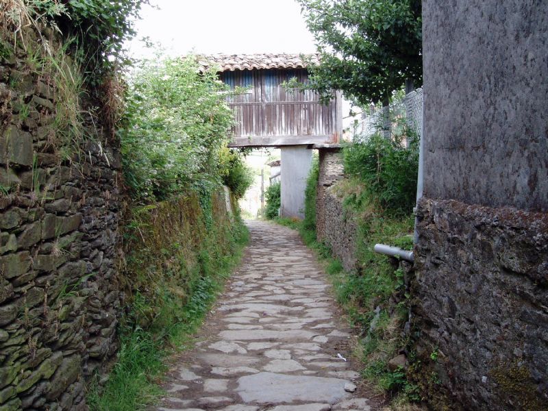
Leave Palas de Rei via the N-547 road, and when reaching a sharp bend (km 36), abandon the road to the left. From here, a cobbled path, known as a corredoira, descends to San Culián do Camiño, about 3 km from Palas de Rei.
The Way to Outeiro da Ponte
From San Culián do Camiño, take an asphalted track that leads to the houses of Pallota. To the right, a path descends through a dense vegetal corridor to reach Outeiro da Ponte. Here, the Pambre river is crossed, leaving behind the small settlement of Pontecampaña.
Ascent and Descent in the Villar River Valley
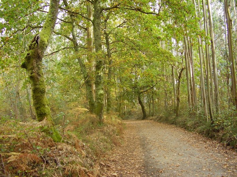
After crossing the river, the path begins a gentle ascent between pines and oaks, reaching a small hill after passing Casanova. Then, it descends to the Villar river valley, crossing a large meadow before reaching Campanilla, where the road is reached. Continuing along this road, you cross from the province of Lugo to the province of A Coruña.
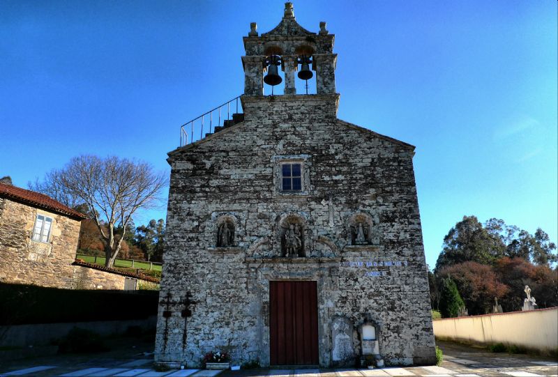
The Charm of Leboreiro and Disicabo
After a brief stretch on the N-547, take a cobbled path surrounded by cypress trees that leads to Leboreiro. Then, continue on to Disicabo, where the Río Seco is crossed via the Magdalena bridge. The path continues along a compacted dirt track, flanked by poplars, and after passing through a small forest, it reaches Furelos.
From Furelos to Melide
Upon leaving Furelos, the path continues along a dirt track, and in just over 1 km, you reach Melide, entering through the San Pedro district. In the town, the path diverts left from the N-547 to the Santa María district. After crossing the Lázaro river and passing through Carballal, you enter a dense forest of oaks and eucalyptus, until you reach Raido.
Descent towards Boente and Castañeda
After Raido, the path leads to the N-547 and then abandons it via a dirt track to the left. In this section, the path crosses through pines and ferns, descending to Boente. Upon leaving the village, the path crosses a tunnel beneath the N-547. The path continues to descend towards the Boente river valley, and then ascends to the abandoned branch of the N-457, leading to Castañeda.
Walking towards Ribadiso and Arzúa
From Castañeda, the path diverts left to Pedrido and descends to the Río, on the banks of the Ribeiral Stream. Then, ascend the hill covered in eucalyptus and cross the road via a footbridge. After gaining the opposite embankment, the path descends rapidly towards the Iso river. The path continues through Ribadiso de Baixo and Riba, crossing the N-547 through a tunnel, until entering Ribadiso da Carretera. From here, take the N-547 again, which leads to Arzúa.
Stages
- CF01 - Saint Jean de Pied de Port - Roncesvalles - 21 km
- CF02 - Roncesvalles - Zubiri - 22 km
- CF03 - Zubiri - Pamplona - 20 km
- CF04 - Pamplona - Puente la Reina - 19 km
- CF05 - Puente la Reina - Estella - 19,7 km
- CF06 - Estella - Los Arcos - 20,6 km
- CF07 - Los Arcos - Viana - 18 km
- CF08 - Viana - Navarrete - 22,3 km
- CF09 - Navarrete - Nájera - 16,9 km
- CF10 - Nájera - Santo Domingo de la Calzada - 21 km
- CF11 - Santo Domingo de la Calzada - Belorado - 22,7 km
- CF12 - Belorado - San Juan de Ortega - 24 km
- CF13 - San Juan de Ortega - Burgos - 27,6 km
- CF14 - Burgos - Hornillos del Camino - 18,3 km
- CF15 - Hornillos del Camino - Castrojeriz - 20,40 km
- CF16 - Castrojeriz - Frómista - 24,90 km
- CF17 - Frómista - Carrión de los Condes - 19,2 km
- CF18 - Carrión de los Condes - Lédigos - 23,40 km
- CF19 - Lédigos - Sahagún - 17,10 km
- CF20 - Sahagún - El Burgo Ranero - 17,9 km
- CF21 - El Burgo Ranero - Mansilla de las Mulas - 18,7 km
- CF22 - Mansilla de las Mulas - León - 18,4 km
- CF23 - León - Villadangos del Páramo - 21,8 km
- CF24 - Villadangos del Páramo - Astorga - 26 km
- CF25 - Astorga - Rabanal del Camino - 20,6 km
- CF26 - Rabanal del Camino - Molinaseca - 24,7 km
- CF27 - Molinaseca - Villafranca del Bierzo - 30,5 km
- CF28 - Villafranca del Bierzo - O Cebreiro - 30 km
- CF29 - O Cebreiro - Triacastela - 22,9 km
- CF30 - Triacastela - Sarria - 22 km
- CF31 - Sarria - Portomarín - 22 km
- CF32 - Portomarín - Palas del Rei - 23,9 km
- CF33 - Palas del Rei - Arzúa - 28,6 km
- CF34 - Arzúa - Santiago de Compostela - 38,4 km
- CF35 - O Pedrouzo - Santiago de Compostela - 20 km