
CF04 - Pamplona - Puente la Reina - 19 km
Distance19 Km.Related packages
Camino de Santiago: From Cizur Menor to Puente la Reina
The Camino de Santiago stage begins when leaving Cizur, where a right turn is made at the frontón (sports court), and the path continues through a trail lined with plane trees. This wide dirt path gently descends towards a residential area of chalets, which is passed through.
Route to Galar and Guendulain
After a sharp right turn, the pilgrim leaves the main path and crosses farmland, passing the Galar road. The village of Galar, located on a hill to the left, is bypassed until reaching a small grove, where the path vanishes among cultivated lands. Following the field edges, the pilgrim reaches a trail that runs along a stream, leading to the foot of the farmhouse of Guendulain.
Ascent towards the Sierra del Perdón
From Guendulain, the path begins to ascend the first foothills of the Sierra del Perdón, visible from Pamplona. After a 2 km gentle ascent, Zariquiegui is reached.
The Summit of Santa María de Erreniega
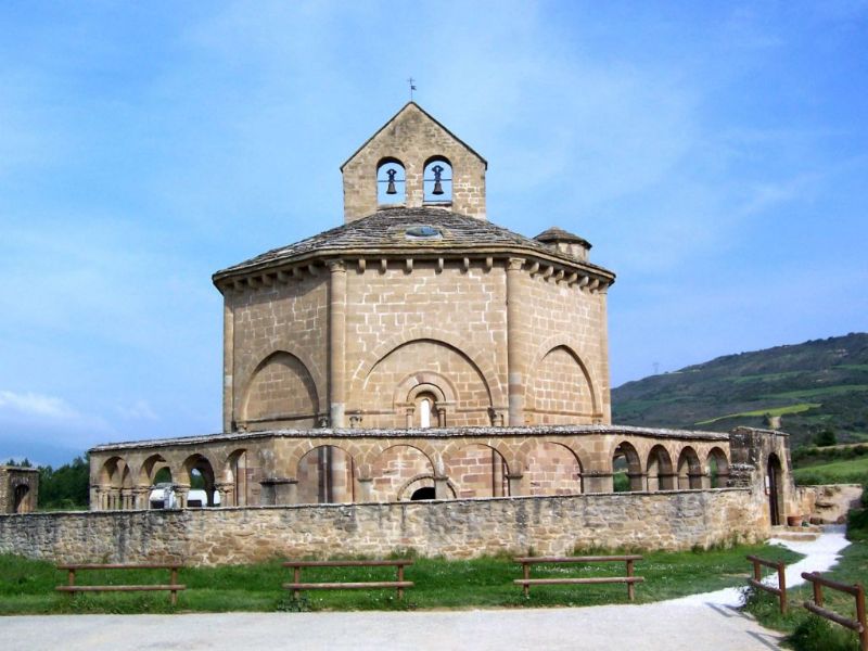
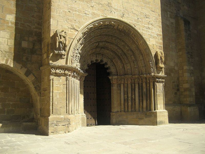
In Zariquiegui, the path crosses the village and passes by the church. From there, a steep trail is followed up to the summit of Santa María de Erreniega (780 m), one of the highest points of the Sierra del Perdón. Just before reaching the summit, the Reniega spring is left to the left. From the top, there are spectacular views: to the north, the Pamplona basin with the Pyrenees in the distance, and to the south, the valley of Valdizarbe, where the villages of Uterga, Muruzábal, and Obanos can be seen, aligned along the path leading to Puente la Reina.
Descent towards Uterga and Muruzábal
After crossing the road, a steep descent among holm oaks and bushes begins, leading the pilgrim to Uterga, 3 km further ahead. From there, an asphalted track is taken, leading to Muruzábal, just 1 km from Uterga.
Route towards Obanos and Puente la Reina
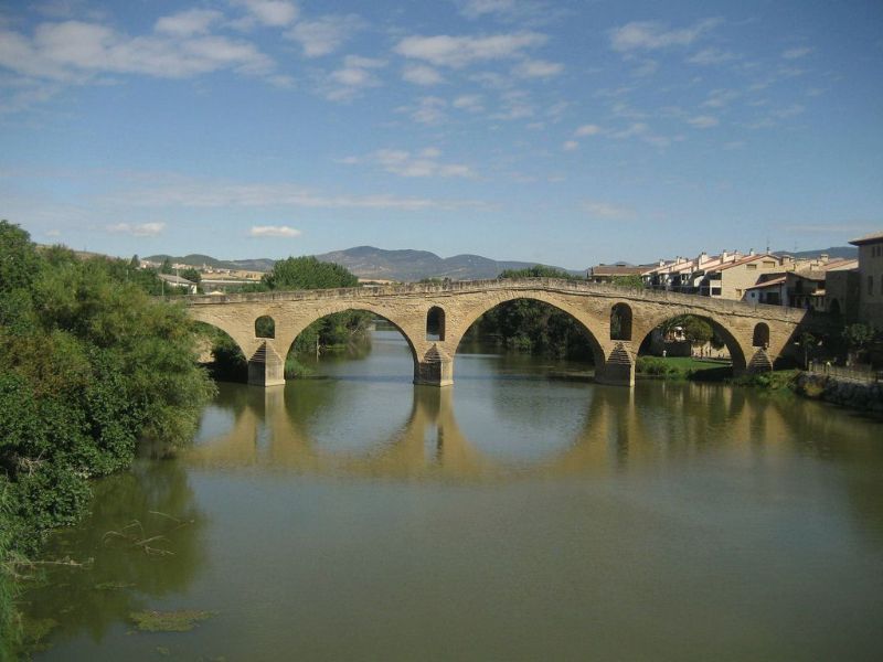
Leaving Muruzábal, the road is abandoned at a point where a wayside cross stands, and the path parallel to it is taken on the right side, leading to Obanos. From there, the path descends along the road that connects with the Aragonese Way coming from Somport, joining the N-111 shortly after, at the place where the Pilgrim Monument stands. Finally, the pilgrim enters Puente la Reina, a meeting point for other routes of the Camino de Santiago.
Stages
- CF01 - Saint Jean de Pied de Port - Roncesvalles - 21 km
- CF02 - Roncesvalles - Zubiri - 22 km
- CF03 - Zubiri - Pamplona - 20 km
- CF04 - Pamplona - Puente la Reina - 19 km
- CF05 - Puente la Reina - Estella - 19,7 km
- CF06 - Estella - Los Arcos - 20,6 km
- CF07 - Los Arcos - Viana - 18 km
- CF08 - Viana - Navarrete - 22,3 km
- CF09 - Navarrete - Nájera - 16,9 km
- CF10 - Nájera - Santo Domingo de la Calzada - 21 km
- CF11 - Santo Domingo de la Calzada - Belorado - 22,7 km
- CF12 - Belorado - San Juan de Ortega - 24 km
- CF13 - San Juan de Ortega - Burgos - 27,6 km
- CF14 - Burgos - Hornillos del Camino - 18,3 km
- CF15 - Hornillos del Camino - Castrojeriz - 20,40 km
- CF16 - Castrojeriz - Frómista - 24,90 km
- CF17 - Frómista - Carrión de los Condes - 19,2 km
- CF18 - Carrión de los Condes - Lédigos - 23,40 km
- CF19 - Lédigos - Sahagún - 17,10 km
- CF20 - Sahagún - El Burgo Ranero - 17,9 km
- CF21 - El Burgo Ranero - Mansilla de las Mulas - 18,7 km
- CF22 - Mansilla de las Mulas - León - 18,4 km
- CF23 - León - Villadangos del Páramo - 21,8 km
- CF24 - Villadangos del Páramo - Astorga - 26 km
- CF25 - Astorga - Rabanal del Camino - 20,6 km
- CF26 - Rabanal del Camino - Molinaseca - 24,7 km
- CF27 - Molinaseca - Villafranca del Bierzo - 30,5 km
- CF28 - Villafranca del Bierzo - O Cebreiro - 30 km
- CF29 - O Cebreiro - Triacastela - 22,9 km
- CF30 - Triacastela - Sarria - 22 km
- CF31 - Sarria - Portomarín - 22 km
- CF32 - Portomarín - Palas del Rei - 23,9 km
- CF33 - Palas del Rei - Arzúa - 28,6 km
- CF34 - Arzúa - Santiago de Compostela - 38,4 km
- CF35 - O Pedrouzo - Santiago de Compostela - 20 km